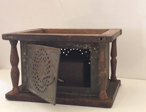
Have you ever looked at an old deed for your property and noticed that it was measured in rods and chains? This chain might have measured your land. During the 18th and 19th centuries Gunter’s Chain, as it was called, was the standard for measuring distances. Each chain was four rods long (a rod is 16.5 feet) and usually contained 100 links of about 7.92” each. Eighty chains equaled one mile. Because the chains were hand-made, their measurements were rarely exact.
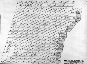
Early land surveying in Norwich was an imperfect art at best. The first surveyors to come to Norwich had a tough job, treking through the wilderness with compasses, 66-foot lengths of chain and posts. There were 28,672 acres to divide and teams of surveyors came up each season to divide the land, beginning with laying off 68 river lots each 25 rods, four links wide and 160 rods in length from east to west.
The resulting lotting map is really the first division of Norwich’s land which went to the first Proprietors. Many of them were speculators and immediately turned around and sold their lots to men who would actually settle here. You’ll notice some familiar names on the map though. If you look closely, you’ll see that lots of land were set aside for the Governor, the Church of England, the Society for the Propagation of the Gospel, sawmills, and schools.
Of course, in addition to surveying property, there was an ongoing need to lay out and survey roads. An important town officer was the Surveyor of Highways. Many of these “ancient roads” have disappeared into the woods or have become class 4 roads. These ancient paths once carried neighbors back and forth, borrowing tools and sharing meals. They once carried farmers from farm field to the mill stream to grind grain. And, they once carried children as they walked to their district school. They now recede back to the paths they once were when they began.
So, if you ever find a lightly-worn path through your woods or decide to trace your deed back through time and come to rods and chains, think about the surveyors traipsing through the cold finding “the old pine” or the “large elm” from which to take their bearings.


